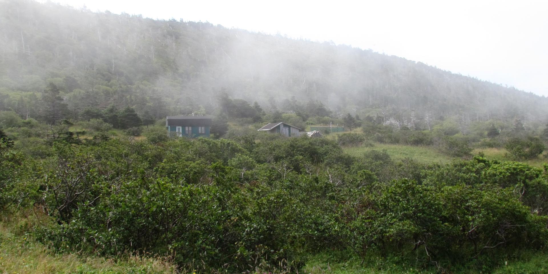
Start at the end of the Scierie parking lot road. Take the path located towards the left, which marks the beginning of the former Pointe Plate Road. Continue on the path in the woods (which is clearly delineated), crossing the Ruisseau de l’Ouest (stream). Go along the first Plaine des Gaules at the foot of the Couline à Franchesse, then, after an s-shaped pathway and a rise, you’ll arrive on the plateau (the second Plaine des Gaules). You can go down towards the ruins of the Couillette Farm (shown in dotted lines on the map); if you do, add an extra hour to your hike. Continue to the path that goes down towards the Pointe-Plate Lighthouse.

